SUBSURFACE INTELLIGENCE
FOR DECISIVE INVESTMENTS

We read the earth and translate geological strata into risk-mitigated construction and capital outcomes. Before you drill. Before you build.

01
GEOTECHNICAL PRE-CLEARANCE, SEATTLE SECTOR, 2025
02
FAULT-LINE MAPPING & RISK MODELING, PERMIAN BASIN, 2025
03
URBAN UTILITY MAPPING AND CONFLICT RESOLUTION, SALT LAKE VALLEY, 2024

WE READ THE EARTH
AND TRANSLATE WHAT IT SAYS
INTO CONSEQUENTIAL DECISIONS.

Exposed geological stratigraphic column

Laminae operates as the interpretive layer between raw geological data and the multi-million dollar capital decisions that depend on it. We analyze subsurface structures to identify geohazards and structural risks before anyone else enters the site; before the drill, before the dollar.

By combining independent geological analysis, stratigraphic sequence modeling, and a bilingual fluency in engineering and finance, we translate the earth's complex history into clear decision frameworks.

The Land: Overburden and surface topography. We map the terrain and surface anomalies before initial drilling begins.
The Formation: Exposed stratigraphic sequence. The sedimentary layers record geological history and indicate structural load capacity.
The Sand: Unconsolidated desert soils and alluvial deposits. Mapping subsurface hydrology and aquifer depths beneath the loose surface.
Subsurface Narrative

Designed to interpret
layer by layer.

Select Investigations

Geological intelligence
for complex
infrastructure.

TRANS-COASTAL STRATIGRAPHIC ALIGNMENT

Pacific Northwest - 2024

Pre-construction geological clearance and fault hazard mapping for a 12-kilometer transit tunnel, mitigating $40M in potential alignment deviation costs.
TRANS-COASTAL STRATIGRAPHIC ALIGNMENT - View 1TRANS-COASTAL STRATIGRAPHIC ALIGNMENT - View 2

The earth is the world's
most underread dataset.
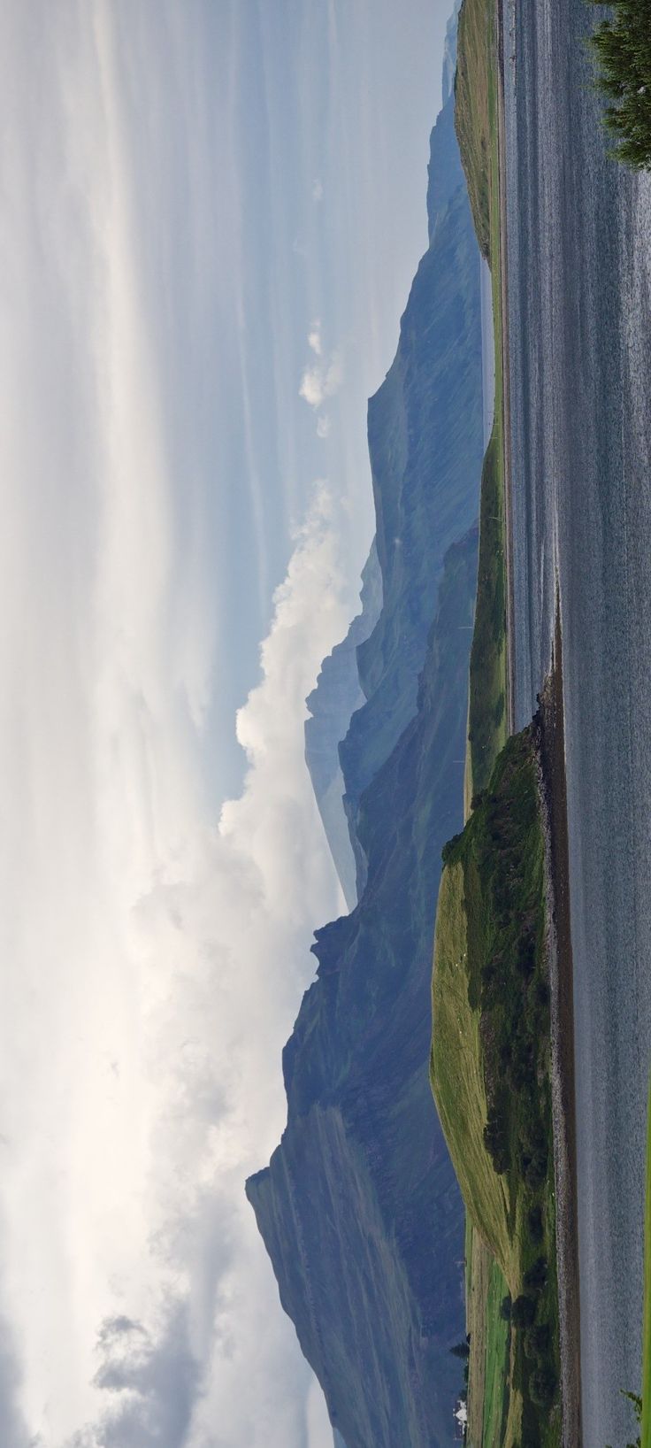
Exposed stratigraphic sedimentary layering
Capabilities
Subsurface geological capabilities illustration

01 / STRATIGRAPHIC SEQUENCE ANALYSIS

Detailed reading of the earth's sedimentary history, layer by layer.
We decode the physical layers of the earth. By examining grain sizes, mineralization, depositional environments, and structural transitions, we reconstruct the geological chronology that dictates site stability.

02 / SUBSURFACE DATA SYNTHESIS

Synthesizing seismic, borehole, and ground-penetrating radar data.
We gather and interpret complex subsurface data streams. From borehole logs and core samples to high-resolution ground-penetrating radar and seismic reflection surveys, we consolidate disparate geological datasets into a unified, actionable geodatabase.

03 / STRUCTURAL GEOLOGY INTERPRETATION

Translating raw geologic data into clear structural narratives.
Data alone lacks foresight. We analyze the relationships between sedimentary sequences, unconformities, and structural fault systems, building the cohesive narrative required to anticipate ground behavior.

04 / GEOHAZARD & 3D MODELING

Generating high-fidelity 2D and 3D subsurface visualizations.
We construct precise spatial models of the subsurface. Our deliverables include 3D stratigraphic volumes, geohazard zoning maps, and structural cross-sections, making complex underground formations immediately legible.

05 / STRATEGIC INVESTMENT ADVISORY

Connecting geological truth directly to capital and engineering decisions.
We translate science into certainty. By linking physical ground constraints to project timelines, structural designs, and financial risk profiles, we provide actionable decision frameworks before excavation begins.
Client Testimonials
★★★★★
“The stratigraphic modeling was exceptionally precise. It allowed us to bypass a major subterranean shear zone that our initial surveys missed completely.”
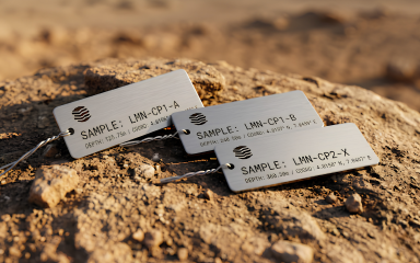
Subsurface geological mapping visualization

Make your next capital decision
with absolute geological
certainty.

Core sample drilling extraction site
Exposed rock formation strata